
Increased precision.
Informed decisions. Astounding value.
Mine Vision Systems delivers decision-ready 3D intelligence directly into mining workflows—reducing uncertainty, improving safety, and enabling predictable operational outcomes across the mine lifecycle.
“There is value on the table, and the industry’s inability to forecast prevents companies from chasing it.”
Trusted by global leaders in underground mining
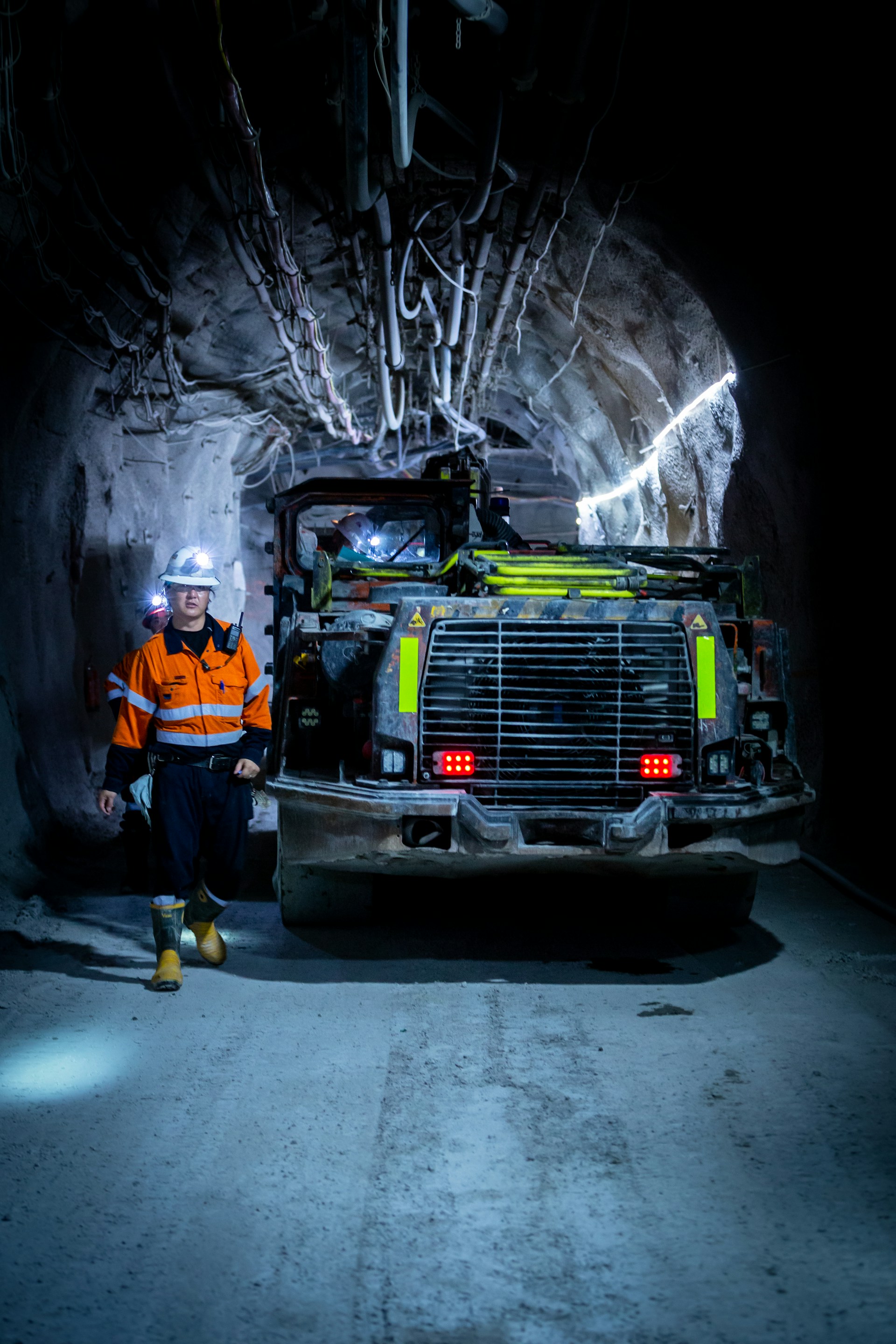
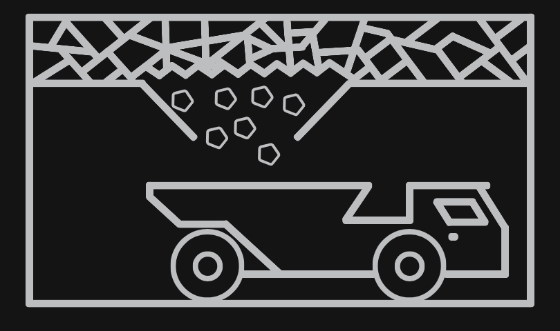
Top mines use Mine Vision Systems’ precise, efficient, and geo-located data capture to support daily planning, execution, and confident decision-making underground.
Why underground teams trust Mine Vision Systems
The real return on investment comes from eliminating uncertainty underground. FaceCapture provides trusted, real-time 3D context that improves decisions, reduces rework, and supports safer, more predictable operations.
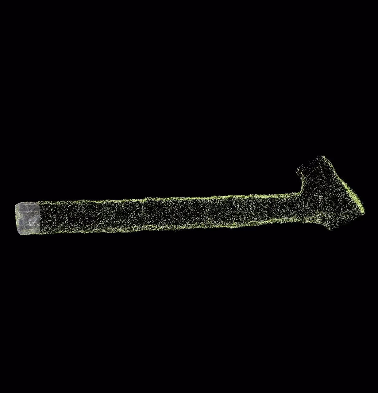
Ground Truth in Real Time
FaceCapture delivers high-fidelity, location-aware 3D data at the face—captured and processed as work happens.
Teams operate with confidence knowing decisions are based on current conditions, not outdated models.
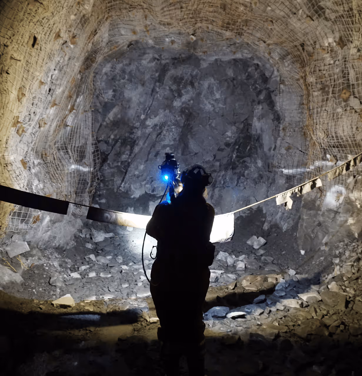
Reduce exposure.
Increase confidence.
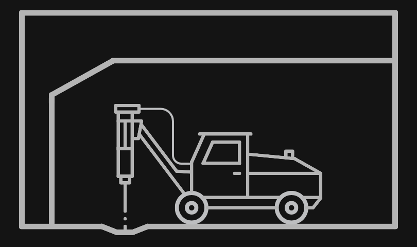
Allow your underground team to capture and map unsupported ground from a safe distance. Capture high-fidelity, georeferenced data that can be leveraged by anyone at the mine- resulting in fewer return visits.
Together, these meaningfully reduce exposure and risk at your mine site.
Modernize reporting and tracking
FaceCapture replaces fragmented workflows with standardized, repeatable outputs. Deliver consistent, decision-ready 3D data across teams—without manual processing or interpretation delays.
Environments where FaceCapture is enabling strong ROI
Mine Vision Systems is working with underground mining leaders across the globe. While there is no standard for data collection at the face, almost every underground mine requires some form of face mapping. MVS is working to improve underground safety and to become that standard for underground data collection at the face, no matter how simple or complex the mapping workflow may be.
Ready to get started?
Let's connect and discuss how Mine Vision Systems can dramatically improve your underground mapping workflows.